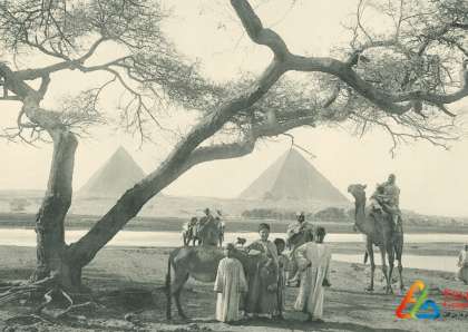
In Assiut governorate, the poet "Mahmoud Hassan Ismail" sat on the shore of the Nile in his village to listen to that conversation between the Nile, the palms and the trees,to realize that eternal encounter between that river and palm leaf. He tried to express his feeling in a poem entitled "Shams El Aseel" that was sung by Om Kolthoum.
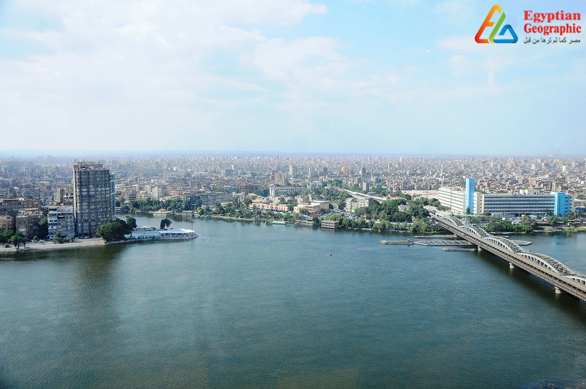
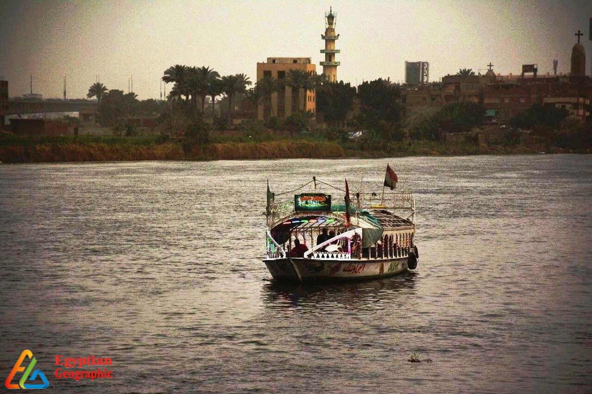
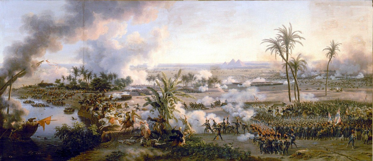
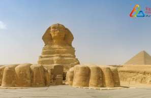
A Greek historian named Herodotus called Egypt the “Gift of the Nile" twenty four centuries ago.The barren Egyptian land, which is predominantly desert in character,penetrated by the Nile river from south to north, to turn the valley and Delta into the largest natural oasis on Earth, Which confirms Herodotus' statement , for without this river, these deserts would not have become an ancient agricultural civilization.
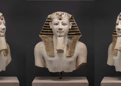
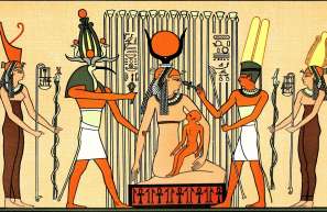
As for the word "Nile" itself, historians have confirmed that it is a Nubian word in origin,and it goes back to the word "ni" that the Nubian people still use to describe the river which means "drink". Its importance to life of all that live on the land of Egypt made the early Pharaohs sanctify it. They made it god of good and happiness, and they named it Hapi. Despite the Egyptian civilization, progress and conquests here and there,the Egyptians were unable to locate the riverhead. Some believed it resulted from melting of snow over mountaintops, while others thought that it came from the depths of the mountain range of Africa. Until the British explorer named John hanning spike found out that lake Victoria is the main riverhead, but some has confirmed that the discovery is belonging to the Arab traveller Abu Abdullah Muhammed Ibn Muhammad Al- Edresi who had discovered that lake in 1160, nearly 700 years before hanning appeared.
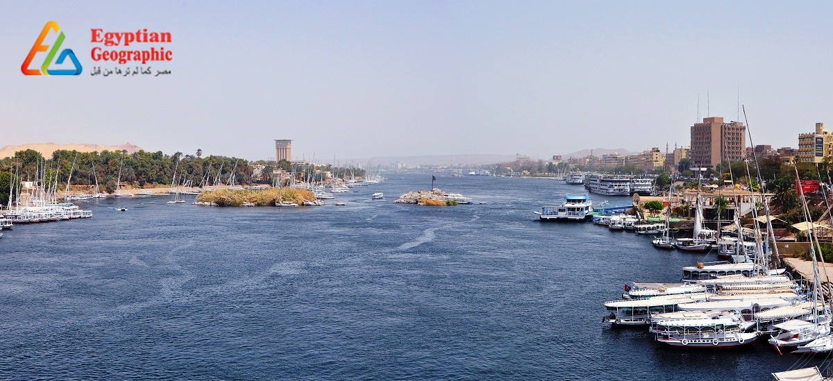
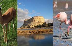
The Nile river...The longest river in the world, it's 6671 kilometres long, and about 3.4 million square kilometres. Although it passes through some dry countries, its sources rich in rain in summer and winter kept its level high. The Nile has two tributaries, the first is the white Nile which considered its main headwater where Lake Victoria provides water, which considered the second largest freshwater lake in the world,after lake Baikal which is a massive lake in the mountainous Russian region of Siberia.Lake Victoria is about 68,000 square kilometers, about 40 metres deep,lying mainly in Tanzania and Uganda but bordering on Kenya.
River water flows from Lake Victoria in Uganda, specifically from the city of Jinja . It crosses about 70 kilometers to pour into lake kyoga, Uganda. Lake Kyoga is a large shallow lake in Uganda, about 1,62 km² in area and about 200 kilometres long, the width is very narrow, and not more than 7 meters deep. The water flows from this lake at Masindi Port . It crosses nearly 500 kilometers to Murchison Falls National Park on the shore of Lake Albert which lies at the centre of the African continent between Uganda and the Congo, through Semliki River which flows north from Lake Edward to Lake Albert.
The water flows from lake Albert up the Albert Nile , Uganda, until it reaches south Sudan. Then it passes Fola falls then it meets the Asua river, 20 km from these waterfalls.Then to the dams area where the dense marshlands ,and goes on to meet Bahr El-Ghazal, there it flows east to meet the sea of giraffes and then the Sobat River which springs from the Ethiopian plateau, then it turns back to its first route to the north. Once the water reaches Khartoum, the stream shifts from the white nile to the blue nile which is the second tributary of the Nile river, through which it enters the estuary state of Egypt.
Even though it only rains on the blue Nile in the summer, it provides the Nile river during this season with more than 80% of its water.The ancient egyptians called that the Flooding of the Nile season, believing that the river was filled because of Isis's tears of sorrow for her dead husband, Osiris. That Nile, which is1400 kilometers long, springs from lake Tana on the Ethiopian plateau that ranges from 3,000 and 3,500 square kilometres, according to the amount of rainfall. In Sudan, specifically in Khartoum city, the blue Nile meets the white Nile , after meeting both rivers of Dinder and Rahad .
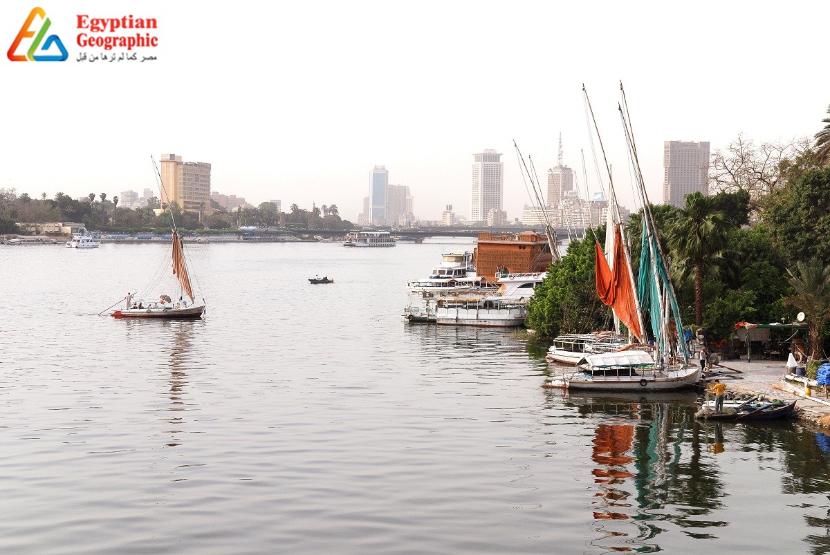
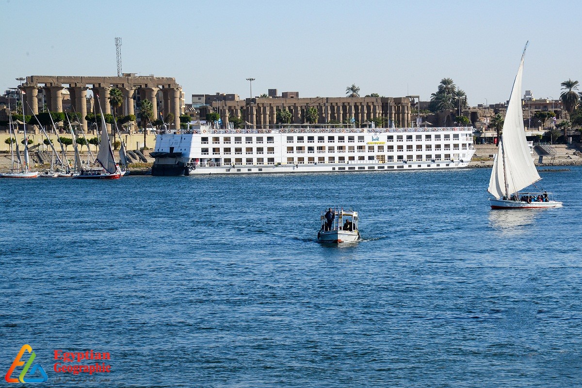
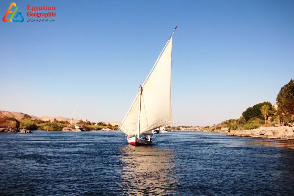
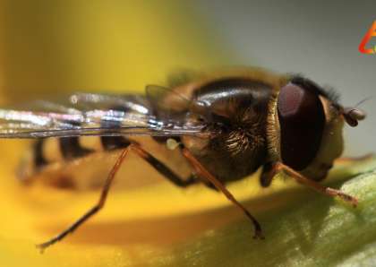
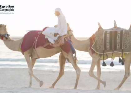
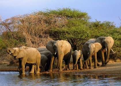
The state of Eritrea has four rivers, the Gash, the Barka, the Anseba and the Setit but only the latter river flows about 805 km (500 mi) to the Nile in north-central Sudan, joining it at the city of Atbarah. The river is of great economic importance because, apart from being the artery of life, it is also a source of irrigation for agricultural land and is rich in fish. In addition to the nilotic tourism, which takes place along its course in Egypt and Sudan, particularly among crocodile hunters.
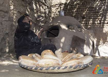
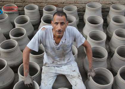
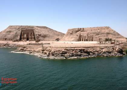
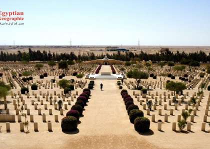
On the river Banks ,the flood deposited rich silt( fertile soil) , the black treasure, which regenerates the fertility of agricultural land. Each year it carries about 110 million tons but the constructed DAMS reserved it in the areas designated for storing excess water such as Lake Nasser which if it weren't for the digging and expansion processes, it would have been buried long ago because of these deposits,and neglect some African lakes made them susceptible to total burying.


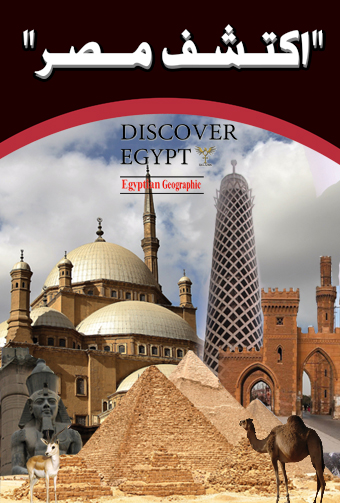


Egyptian Site & magazine